

Map-based visibility
A clear view of compatible connected devices.
We’re developing the MAVE GPS client experience: a focused place to see your vehicles, review activity and stay connected to the assets that matter.
 CLIENT PORTAL
The public site is open for product inquiries and deployment planning. Client access will be available as the platform is completed and each installation is configured.
A clear view of compatible connected devices.
Routes and activity information for supported deployments.
A client experience planned for both languages.
Device selection · Installation planning · Platform setup · Ongoing support
Ask about camera-enabled devices, sensor options and API integrations. Availability is confirmed for each deployment; these are not enabled by this website.
Explore illustrative units, sample routes and selected events for this use case. Select a unit to change the route and speed shown.
ILLUSTRATIVE DEMOExplore a sample unit
Sample configured speed threshold
Example: unit left its assigned area
Example: activity outside your schedule
Concept illustration with sample data, not a live client portal. Features depend on compatible devices, connectivity and configuration.
Ask about road-facing and dual-camera setups. Combine supported video with location and event information to review a journey with more context.

Start with the road, add an inward-facing lens or discuss extra views for cargo and vehicle surroundings.
Discuss incident clips, event timestamps and the information your team needs to review supported camera events.
We confirm camera channels, storage, mobile data requirements and access before defining the installation.
Generated illustrative camera views. Video access, event recording and extra cameras require a supported device and a confirmed deployment.
Plan GPS + camerasA preview of our Mave GPS System login design. Request a demo to explore simulated tracking when access becomes available.
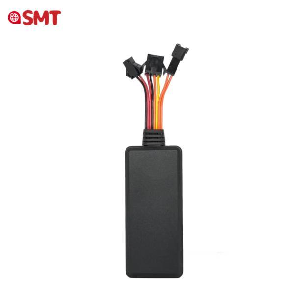
Vehicle power, ignition sensing and optional relay outputs.
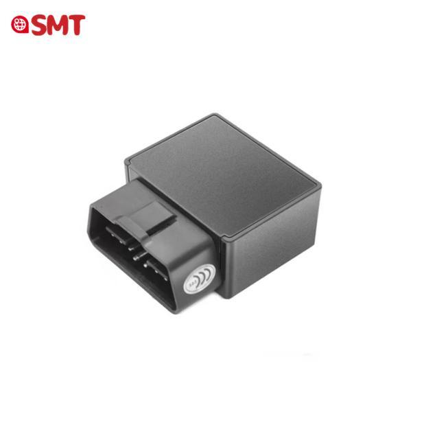
A practical OBD-style installation when compatible with your vehicle.
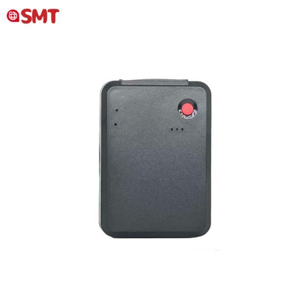
Portable or magnetic devices with reporting and battery life matched to the job.
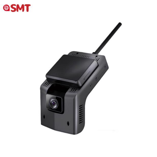
Road and cabin views with supported event recording and video access.
Device category images from the supplier catalog. Specific models and accessories are selected after compatibility review; images do not guarantee availability.
GPS updates, trip history, mileage and available ignition information.
Review configured zone boundaries, vibration and unexpected movement.
Discuss external power loss, device removal and low-battery events.
Speed thresholds, harsh acceleration, hard braking and turns on supported devices.
Selected camera devices offer live-view capability, recorded clips and ADAS/DMS event options; platform integration must be confirmed.
Optional emergency buttons, RFID accessories and supported driver-event workflows.
Ask about compatible serial accessories, fuel sensors, authorized intercom and API connections for your project.
Supported devices can buffer location records and forward them when service returns. Live updates still require connectivity.
Discuss a professionally installed relay and stationary-vehicle safeguards for authorized use. This website sends no vehicle commands.
We select regional LTE hardware and validate supported bands, the SIM, carrier acceptance and coverage in your operating area. A 4G label alone does not confirm U.S. compatibility. We confirm the configuration and supported platform features before deployment.
Tell Maves Smart Technologies what you want to track. We’ll help you find the right starting point.